SARTopo Mapping Class
What is SARTopo/CalTopo?

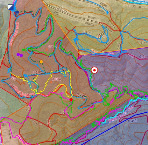
SARTopo, now known as CalTopo, is a maping tool used for managing search and rescue missions, planning incidents, live tracking emergency responders in the field, and documenting what areas have been search. AMRG has used SARTopo on nearly every mission that we are involived in since 2014. Our instructors, with more than 10 years of managing incidents with SARTopo, share their experieinces with other emergency response organizations through the following classes:
Introduction to SARTopo/Caltop - 2 hours
This 2 hour long course introduces emergency responders the SARTopo mapping tool, and shows them how to use during incidents. Students learn to use the mapping program, including how to access an incident map, share their location with live tracking, record their track on them, and add clues/markers to the map.
Incident Management with SARTopo/CalTopo - 8 hours
This 8 hour Course teaches best practices for the use of the SARTopo mapping tool for as part of planning and managing a search and rescue operation. Students will learn the basic functions of SARTopo, how to distribute maps to responders in the field, how to effectively use events and sub-teams for large, mutual aid incidents.
After classroom time, there is a hands-on exercise simulating a search and rescue mission, into the second operational period.
Remote Mission Planning with SARTopo/CalTopo - 8 hours
This advanced class teaches techniques for remote incident management teams -- where members of the incident command staff may be distributed over different physical locations and collaborating via SARTopo and shared document repositories. This 8 hour long class is entirely hands on simulations and tabletop exercises.
All courses are approved for Pennsylvania EMS Con-Ed credit.